Examples
Since OpenStreetMap is by nature a database there are many ways to display the data in it. Most people are used to the road layout on maps or tourist maps that show an elephant depicting the Okavango Delta. OpenStreetMap has the power to do more.
Villages with extensive mapping
Many places are already mapped in some detail, not just Gaborone, Francistown and Maun but also smaller villages, for example in Kgalagadi we have buildings mapped in Hunhukwe, Khawa, Bokspits and many more places.
Polling stations
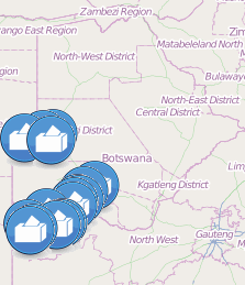 This map shows most of the polling stations from 2009 elections in the Kgalagadi District on an interactive map where you can zoom in. By clicking each polling station you can see its name and official polling station number.
Points of interest
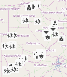 This map shows some amenities in Botswana, schools, clinics and hospitals, bars and police stations for example. As always if you have knowledge of more you can take part and help us add more information!
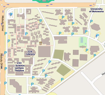
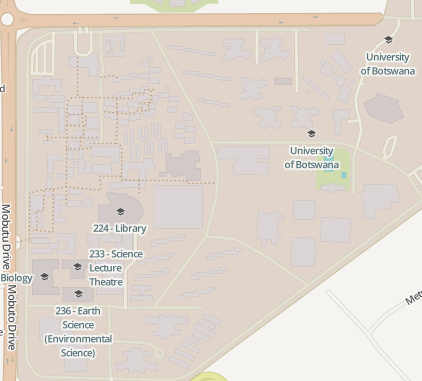
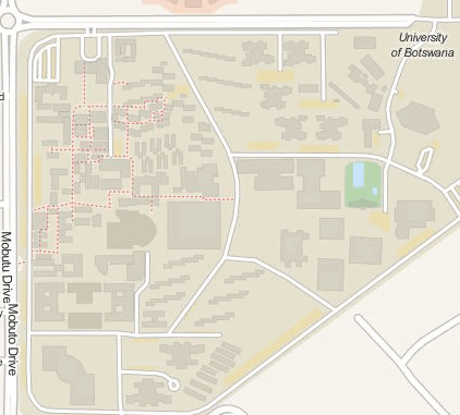
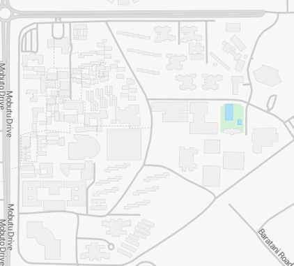
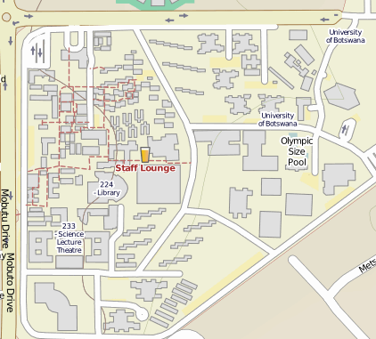
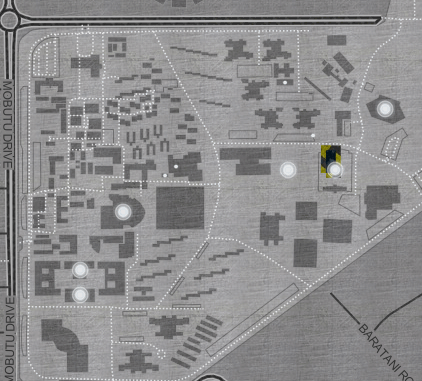
Different layouts
Different layouts can be made using the same data. For example compare the campus of University of Botswana in these different layers: